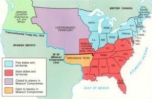
The Missouri Compromise of 1820 was an attempt to draw an imaginary line on the 36°30′ latitude to limit the spread of slavery to the north of that boundary.
Missouri Compromise 1820 Click on map to enlarge.
In 1845 the United States annexed the territory of Texas to its Union becoming the 28th state. The United States saw its territory increase by more than a third after the Mexican American War in 1848. Under the Guadalupe Hidalgo treaty Mexico ceded Alta California and New Mexico and accepted the loss of Texas. The treaty also declared Rio Grande as its territorial boundary with the US.
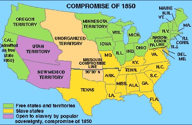
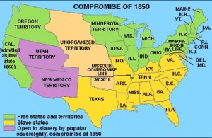
The map shows the changes in the geopolitical situation under the Compromise of 1850. Green states are the free states where slavery was not allowed. California and Oregon were added to the free states. The territories of Utah and New Mexico, in purple, were organized and opened to slavery by popular sovereignty. The yellow states are slave states.
Compromise of 1850. Click on map to enlarge.
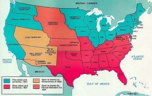
In 1854 the territories of Kansas and Nebraska were organized and opened to the debate of allowing slavery or not. The Kansas-Nebraska Act allowed its citizens to decide whether they wanted the institution of slavery in their territories.
Kansa-Nebraska Act 1854. Click on map to enlarge


